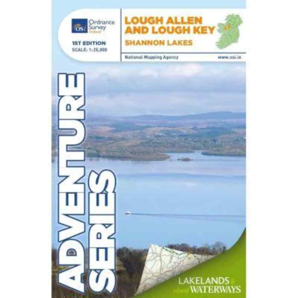
The OSI Adventure Series 1st Edition Lough Allen and Lough Key 1:25K Map is perfect for hikers and adventurers, offering detailed topography and durable water-resistant paper.
OSI Adventure Series 1st Edition Lough Allen and Lough Key Details:
| Language |
English |
| Licence |
Paper Standard Ts & Cs |
| Page Size |
Full Sheet |
| Scale |
1:25,000 |
| Orientation |
Landscape |
| Edition |
1 |
| Year |
2016 |
Features:
- Detailed topographic map at a 1:25,000 scale
- Covers Lough Allen and Lough Key extending to Carrick-on-Shannon
- Includes counties Leitrim, Roscommon, and parts of Cavan and Sligo
- Depicts National Roads, Secondary Roads, Regional Roads, Waymarked Walks, Tracks, Trails, and Cycle Routes
- Features Forestry, Land Terrain, Spot Heights, Contours, Named Antiquities, Local Amenities, National Parks, Lakes, Rivers, and Streams
- Printed on water-resistant paper for enhanced durability
- Compatible with two Discovery maps: Sheet 26 (north) and Sheet 33 (south)
Care Instructions:
- Keep Dry: While the map is water-resistant, avoid prolonged exposure to moisture to maintain its condition.
- Store Properly: Fold the map along existing creases and store it in a dry, cool place.
- Clean Gently: If the map gets dirty, clean it gently with a soft, dry cloth. Avoid using harsh chemicals or abrasives.
- Use with Care: Frequent unfolding and refolding can wear out the creases over time. Handle with care to prolong its lifespan.
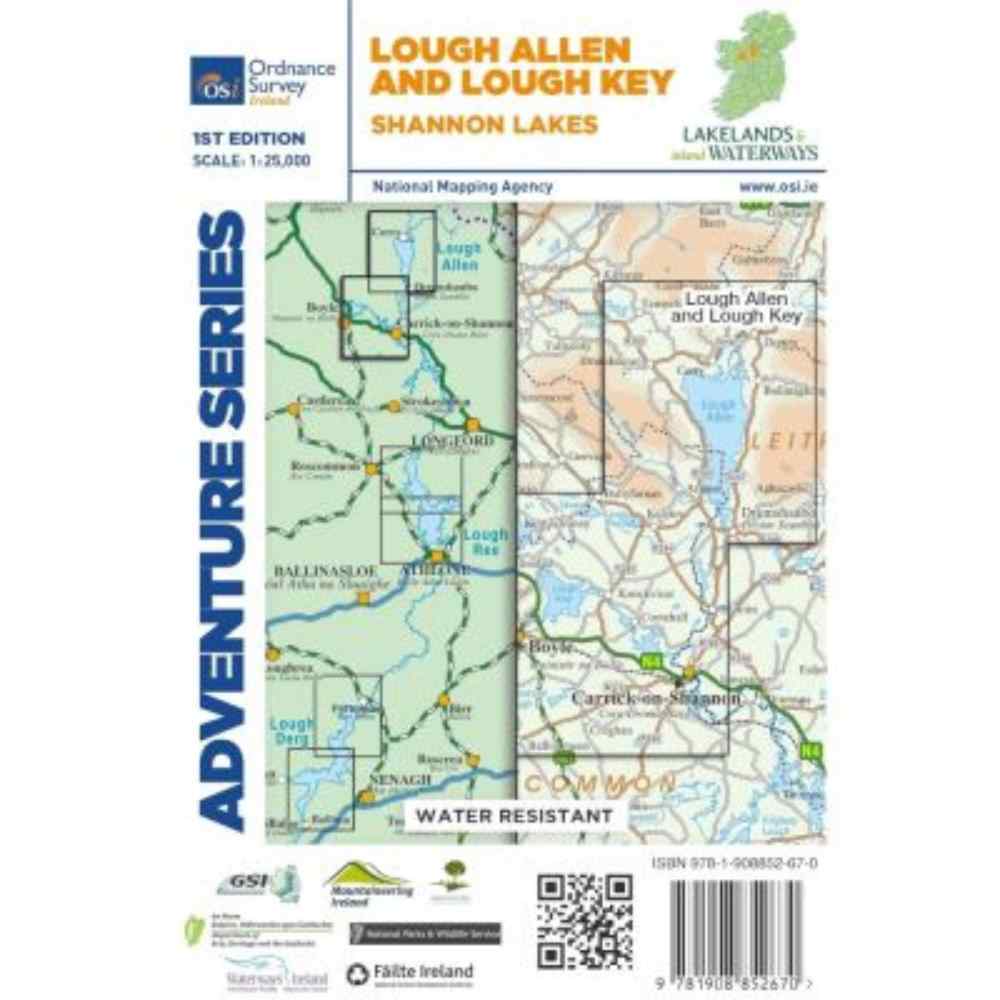
This map covers a section of the Shannon River from Lough Allen in the north and Lough Key extending down to Carrick-on-Shannon following the flow of the River Shannon. The counties of Leitrim and Roscommon comprise the majority of the map, with small areas of County Cavan and County Sligo also included.
Two Discovery maps at 1:50 000 also cover this area, with Sheet 26 covering the northern part of the map and Sheet 33 covering the southern part.
Some of the features included are National Roads, National Secondary Roads, Regional Roads, Waymarked walks, Tracks and Trails, Cycle Routes, Forestry, Land Terrain, Spot Heights, Contours, Named antiquities, Local amenities, National Parks, Lakes, Rivers and Streams. The Series is printed on Water Resistant Paper for greater durability.
| Shop more Ordnance Survey Ireland Products – Here |
| View our range of hiking accessories accessories – Here |
If for any reason you are not satisfied with your purchase, please contact us by calling 071 9616660 or contact us, and we will provide you with further instructions on where returns should be shipped.
If you decide that you simply no longer want the item(s) purchased, you can return them to us for an exchange or refund.
All returns must reach us within 21 working days of receiving your order. This refund amount will exclude delivery charges.
Items to be returned or exchanged must be in their original packaging and labelling must still be attached. Your statutory rights are not affected.